GPR Field Studies
As technology has become available to support archaeology,
higher levels of research are attainable, and so have been
added to the ADASR project. Jessie
Pincus focused her doctoral project on
such studies from 2003-2009. Here in the Negev we have undertaken
comparative Ground Penetrating Radar (GPR) surveys to help
understand the geohydrological content of the sub-surface at
various sites at different times of the year.
A GPR Survey while labor intensive and exacting is able
to provide information about the sub-surface which is not otherwise
available. Post-processing and modeling of the acquired data
can be very beneficial. Some examples of GPR studies in
the region can be found by clicking here.
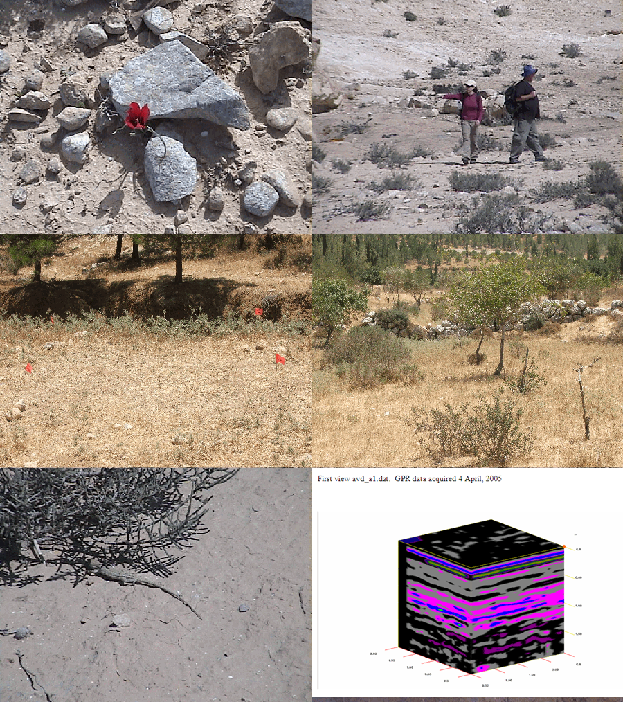
The following shows field study days at
the ancient archaeological terraces of Israel's Avdat and the Yatir Forest. Photos courtesy of Michael Pincus. (Refresh the page to start over.)

GPR Field Study Slide Show from Avdat and Yatir Forest ancient archaeological terraces
Click for More GPR Reports
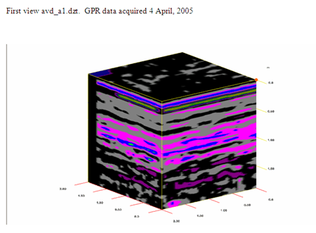
To obtain the sort of modeled information shown below, a field study must
be done. This requires finding the right place, marking it carefully, taking
GPS coordinates so it can be placed on a map, acquiring parallel
lines of GPR data in a dense grid, doing a depth analysis, and saving all
the data to a field computer. Then, with proper evaluation and analysis,
subsequent post-processing of that data is done in the lab for inclusion
in a report, often creating a depth slice
animation, and/or preparing the information for inclusion in a GIS
layer of the area.

GPR Study showing moisture levels at Avdat in April 2005
|

