An excerpt from the official site report for 1996-2002 by
the principal archaeologist, Dr. Aren Maeir from the Institute
of Archaeology at Bar Ilan University in Israel, follows:
Area C:
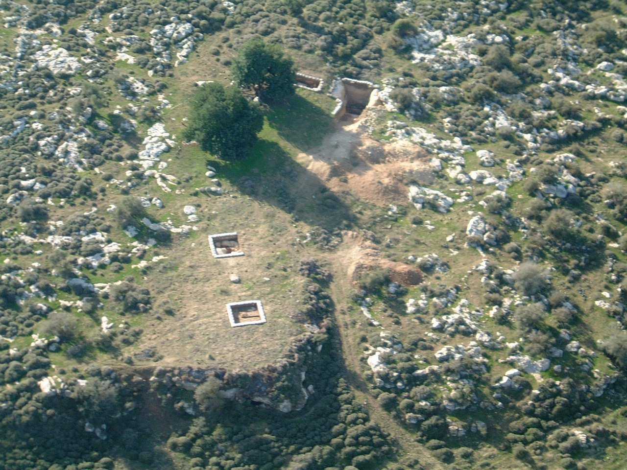
As already stated above, during the 1996 season, on the basis of aerial photography and subsequently the surface survey, a unique feature was noticed in the vicinity of the tell. This feature, which is more than 2 km long, surrounds the site from the eastern, southern and western sides. Immediately after its discovery it was suggested that it was the remains of an as yet unparalleled siege trench - a feature dug by the besiegers to enclose the city, similar in function to the Roman circumvallation (as known, for example at Masada in Judea and Alesia in Gaul). Since then, an intense effort has been made to study this unique feature. At first, a manual probe was excavated in Area C1. This demonstrated that the trench was not a modern feature since it was covered by a pre-modern road (most probably of Medieval date, though possibly earlier). Subsequently, several probes at different points along the trench (C2-5) were excavated by mechanical means, to determine the depth of the feature (in all cases, more than 3 meters deep).
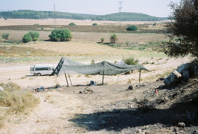
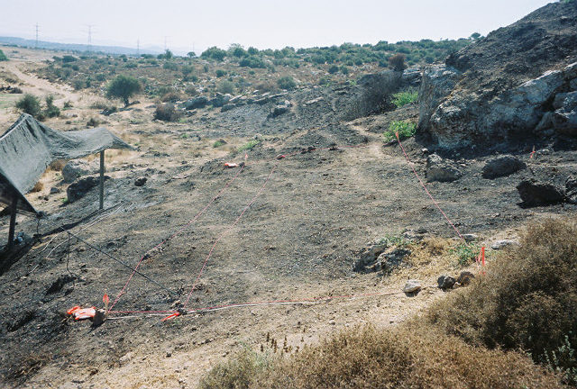
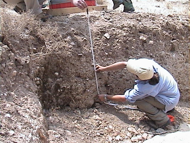
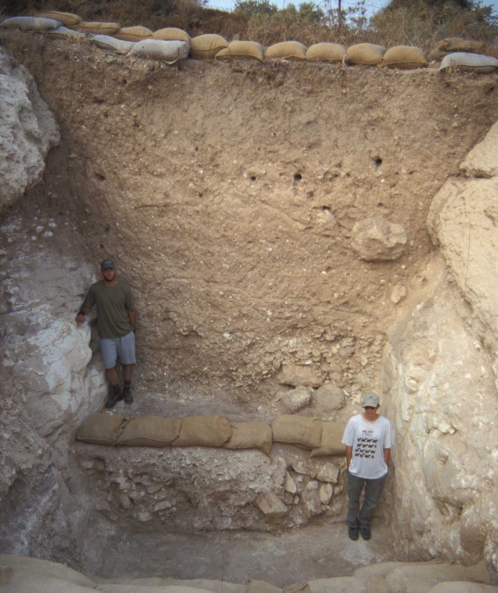
In the 1999 season, a manual excavation was commenced on the eastern side of the trench, in Area C6. This last excavation, incorporating both the archaeological finds as well as a geomorphological analysis of the relevant deposits, demonstrated several critical points: 1) The trench had been manually excavated in antiquity; 2) In the area that was excavated, it is ca. 5 m deep and 4 m wide at the bottom; 3) The initial refill of the trench, after it went out of use, could be dated to no earlier, but at the same time, no later, than the Iron Age II; 4) The material that had been originally excavated from the trench had been dumped consistently by the original excavators on the side of the trench that was away from the tell, forming a "berm"; 5) The material from this "berm" covers deposits dating no later than the early Iron Age II (parallel to Temporary Stratum 4 on the tell).
Based on this evidence, the following conclusions can be reached regarding the function of this feature: 1) It was manually excavated and subsequently went out of use during the Iron Age IIA; 2) The only logical function that can be suggested (due to its topographic location, dating and overall size) is that it served as part of a large scale siege of the site, serving as but one of the physical components of a larger system; 3) The material that had been excavated from the trench was purposefully poured on the outer side of the trench, in order to create a berm (earthwork), which supplemented the physical barrier that the trench provided; 4) It is most likely that there are additional components of this system (such as camps and fortified points) that have yet to be discovered (although there are hints to their existence).
Based on the dating of this feature to the early Iron Age II, a connection with the similarly dated large-scale destruction level on the site itself (Temporary Stratum 4) is compelling. If one takes into account the suggestion (above) that Hazael of Aram was behind this destruction, it is interesting to note that in the Zakur inscription from northern Syria, Hazael's son, Birhadad, is credited with digging a siege moat (and a circumvallation wall) during the siege of the city of Hadrach. If so, one might have evidence of a similar "Aramean" siege method at Tell es-Safi as well.