UJHT 2017 SEASON UPDATE


UJHT Next Stop 4
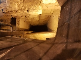
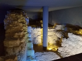
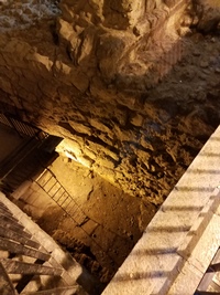
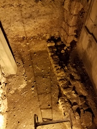
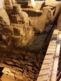
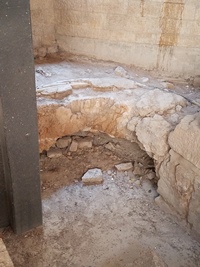
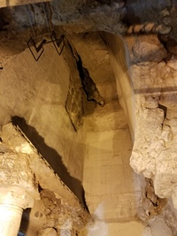
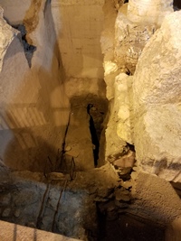
These 8 images are examples of subsurface areas of the ancient Upper City of
Jerusalem now being exposed for various reasons by the private owners and
inhabitants of these areas. There is considerable unexcavated
infrastructure beneath these levels which may not be exposed. The only way
we can postulate and model using non-invasive means the subsurface from
these levels downwards through Crusader and 2nd Temple times to 1st Temple
times or bedrock is by CRASL UJHT GPR.
CLICK PIC TO ENLARGE
|
1 |
2 |
3 |
4 |
Donate Here!

|


